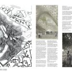
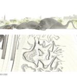
The name No-Man’s-Land refers to the territory in between the Green and the Red Line, between Israel and Palestine.
Over history the borders of all Palestine have been shifted by all kinds of events and powers.
Architecture, Construction & Design Awards 2022
Second Award | Institutional (Concept)
Project Name: No-Man’s-Land
Project Category: Institutional Concept
Studio Name: OTA
Design Team: Orit Theuer
Area:
Year: 2014
Location: Jerusalem
Consultants:
Photography Credits: Orit Theuer
Other Credits:
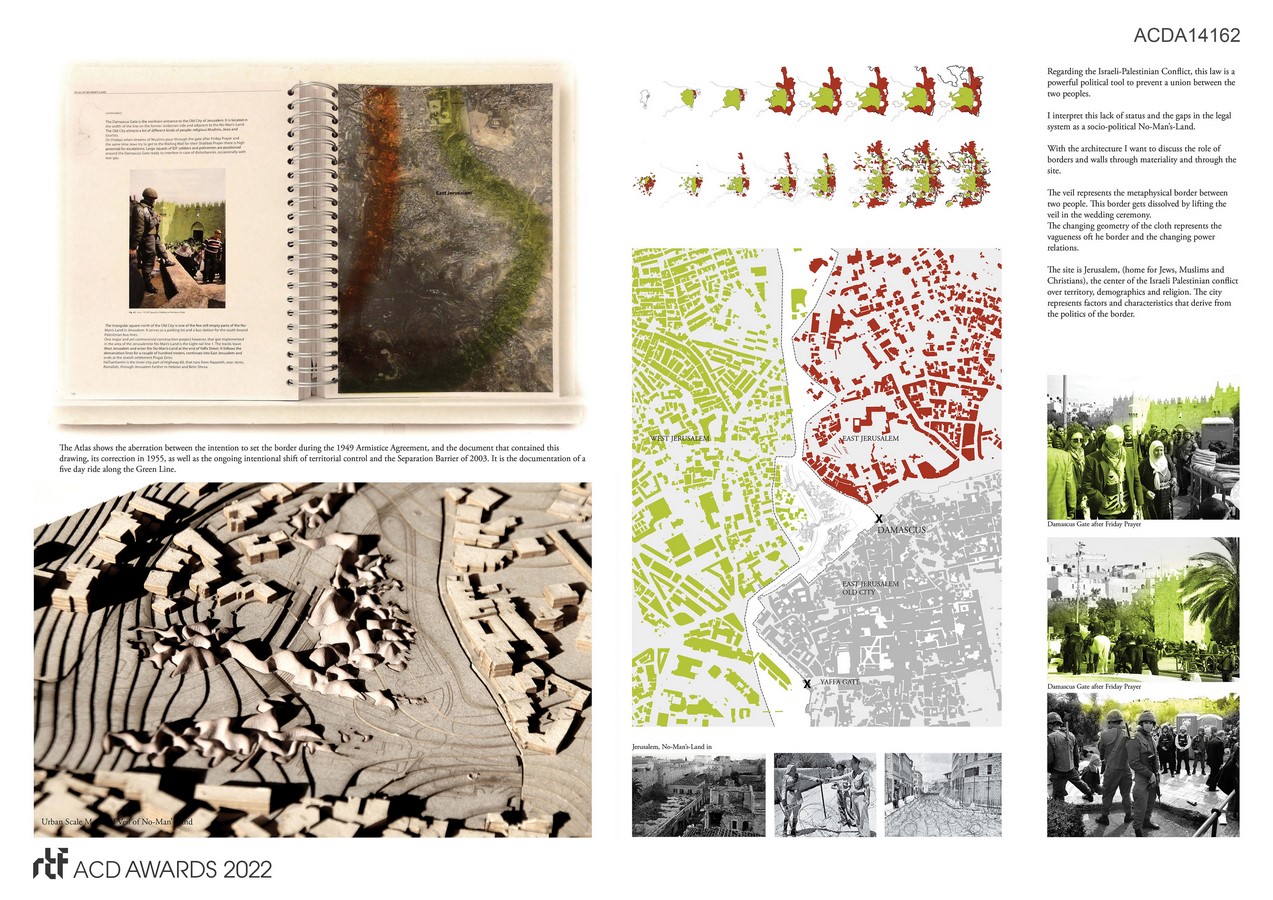
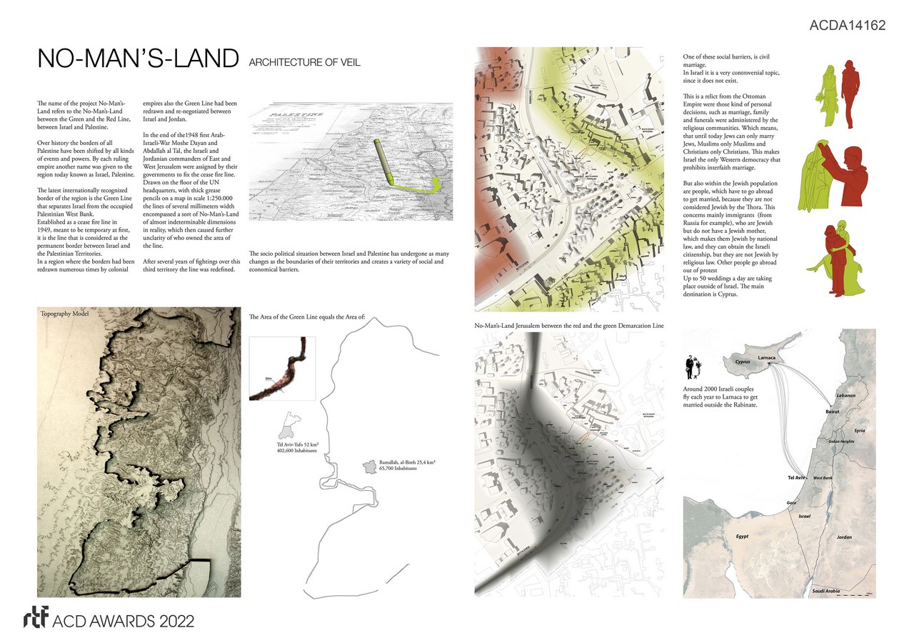
The latest internationally recognized border of the region is the Green Line that separates Israel from the occupied Palestinian West Bank.
Established as a cease fire line in 1949 it is considered as the permanent border between Israel and the Palestinian Territories.
In a region where the borders had been redrawn numerous times by colonial empires also the Green Line had been redrawn and re-negotiated between Israel and Jordan.
The socio-political situation between Israel and Palestine has undergone as many changes as the boundaries of their territories and creates a variety of social and economic barriers.
One of these social barriers, is civil marriage since it does not exist.
This is a relict from the Ottoman Empire where marriage, family and funerals were administered by the religious communities. So until today Jews can only marry Jews, Muslims only Muslims and Christians only Christians.
Regarding the Israeli-Palestinian Conflict, this law is a powerful political tool to prevent a union between the two peoples.
This lack of status and the gaps in the legal system is a socio-political No-Man’s-Land.
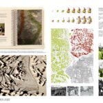
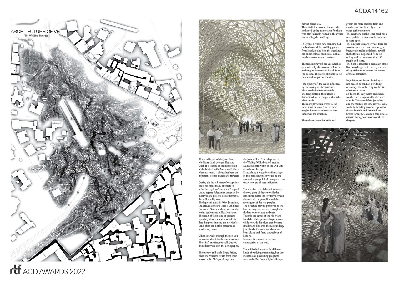
With the architecture I want to discuss the role of borders and walls through materiality and through the site.
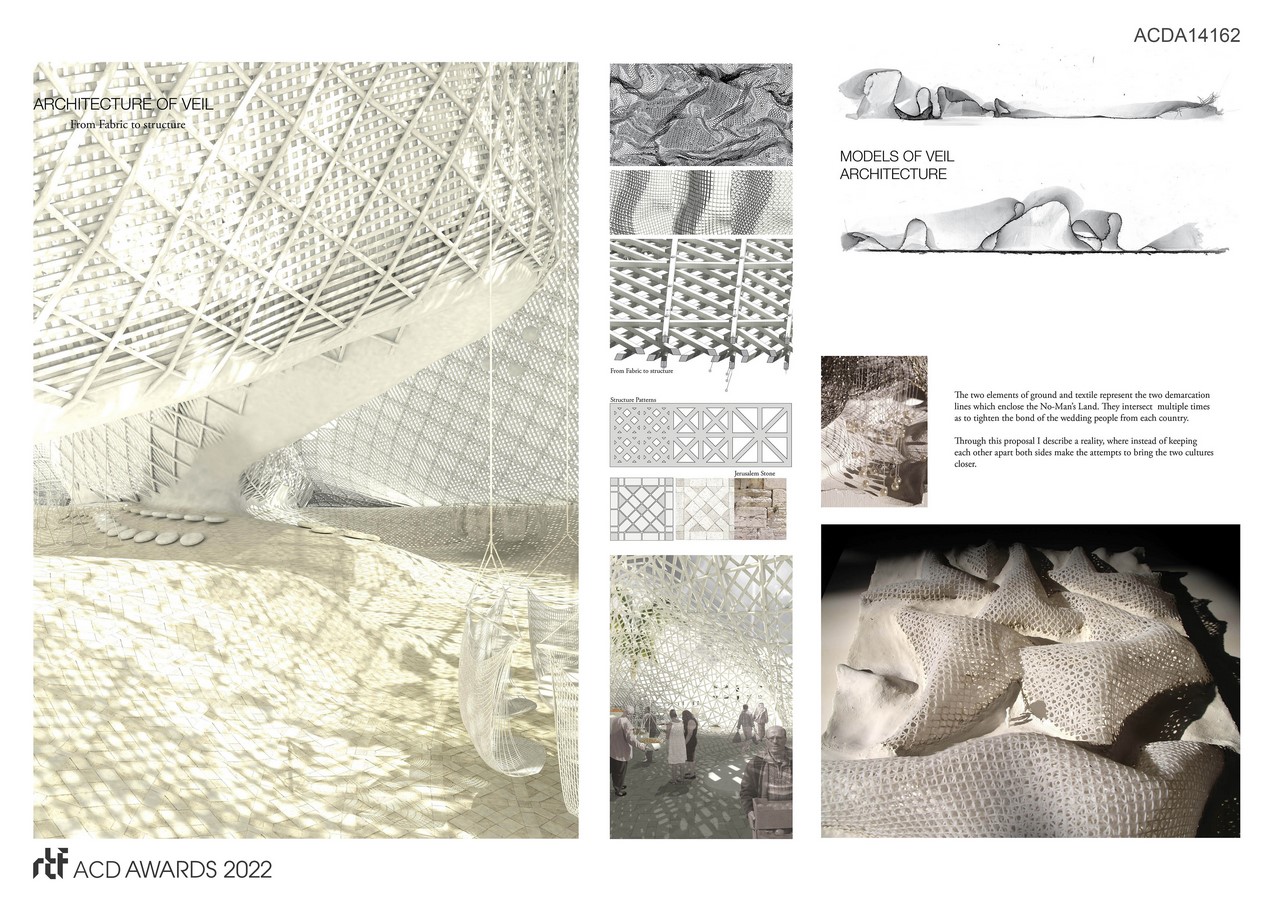
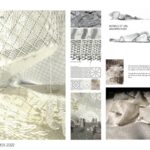
The veil represents the metaphysical border between two people. This border gets dissolved by lifting the veil in the wedding ceremony.
The changing geometry of the cloth represents the vagueness of the border and the changing power relations.
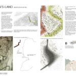
The site is the No-Man’s-Land between East and West Jerusalem.
Jerusalem (home for Jews, Muslims and Christians) is the center of the Israeli Palestinian conflict over territory, demographics and religion.
When you walk through the site, you cannot see that it is a border situation, but the cultures still clash. Every Friday, when the Muslims return from prayer in the Al-Aqsa Mosque and the Jews walk to Sabbath prayer at the Wailing Wall, the areal around Damascus gate North of the Old City turns into a hot spot.
Establishing a wedding institute in this particular place would be the result of major political changes and an entire new era of post militarism.
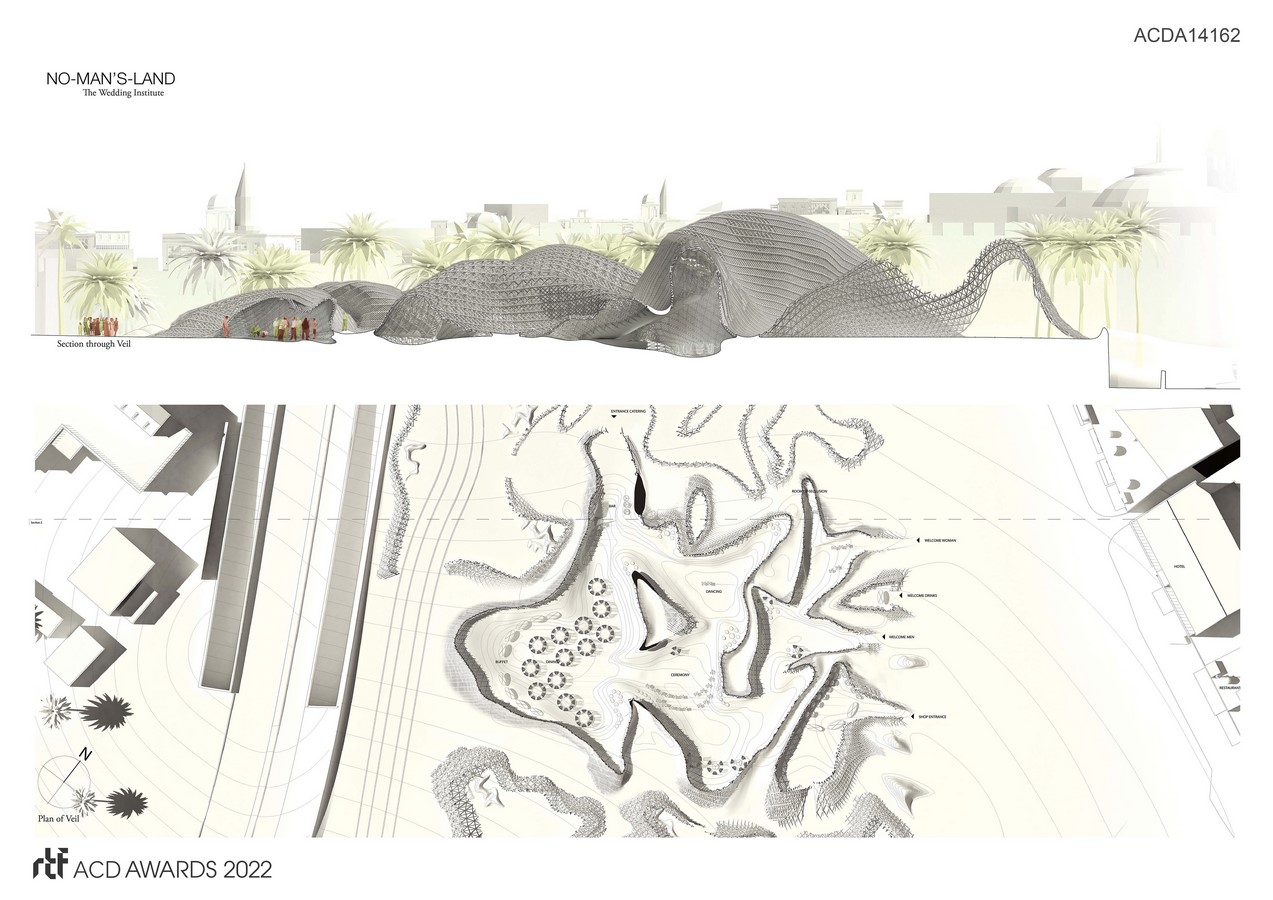
The Architecture of the Veil connects the two parts of the city while the same time marks the territory between the red and the green line and the sovereignty of the two peoples.
It includes spaces for different kinds of wedding ceremonies, but also incorporates preexisting programs such as the Bus Stop and marketplaces.
These facilities serve to improve the livelihood of the intersection for those who aren’t directly related to the weddings.
The translucency of the veil which is symbolized by the structure allow the weddings to be seen and heard from the outside.
Through this proposal I describe a reality, where both sides make the attempts to bring the two cultures closer.

