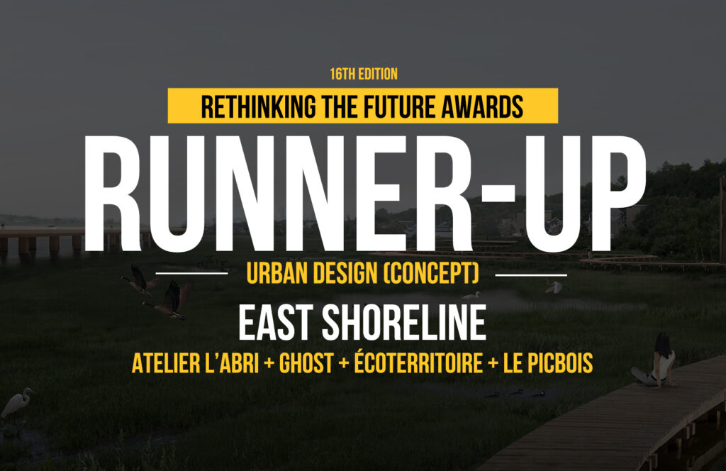
This urban design project is the result and winning proposal of the official East Shoreline international ideas competition which will reclaim and enhance an 8 km stretch of Quebec City’s St. Lawrence East Shoreline. The existing shoreline is currently mostly occupied by an oversized highway cutting access to the water for the area’s residents.
Rethinking The Future Awards 2024
Second Award | Urban Design (Concept)
Project Name: East Shoreline
Category: Urban Design (Concept)
Studio Name: L’Abri, Ghost, Le Picbois, Écoterritoire
Design Team: Keyan Ye, Jeth Owen Guerrero, Pia Hocheneder, Charles-Olivier Rocray, Nicolas Lapierre, Morgan Mangelsen, Rose Savard-Paquet, Jean-Philippe Laliberté, Beavan Flanagan
Area: 6 km2
Year: 2024
Location: Quebec City, Canada
Consultants: N/A
Photography Credits: N/A
Render Credits: Atelier L’Abri, Ghost
Other Credits:
- Landscape : Ghost
- Urbanism : Picbois
- Environment : Écoterritoire
The proposal reestablishes a dialogue between the city and the coast by enhancing existing natural and anthropogenic environments through the deployment of a continuous network of public spaces along the waterfront.
Through this grand unifying gesture, Quebec endows itself with a reimagined coastline along which sustainable developments and architectural installations are deployed, allowing for a diversity of public practices in connection with local attractions.
Embracing the nuances of the tidal flats, this large linear park favors gentle interventions and the optimization of existing infrastructures. A series of sponge parks, placed along the long stretch of land, act as new public transition spaces between the existing neighborhoods and the new urban boulevard and tidal flats beyond. In continuity with the evolving nature of the river, the artificial terrain gradually gives way to the dynamic movement of water. This temporal aspect, alongside those of the seasons and tides, calls for a reinterpretation and rediscovery of the riverside experience.
The existing highway infrastructure and embankments are partially dismantled to connect urban living environments to the river. As a barrier fragmenting the territory, the Dufferin-Montmorency highway is transformed into an urban boulevard highlighting the coastal landscape. This new reclaimed axis ensures improved accessibility and safety to the shoreline while generating a new coastal public life.
The Bay Parks forms a large open space that connects the Maizerets Domain, the Beauport Bay, and the tidal flats. The developments center around two identical components: the renaturalization of the former Moulin River, and the reinterpretation of railway structures for public purposes.
The multimodal loop creates a dialogue between the newly built front on Boulevard Sainte-Anne and the coastline. Recreational and playful features located at the heart of the cycling and pedestrian loop encourage slowing down to enjoy the coastal scenery.
The marsh of the coast, recognized as a sensitive natural habitat, consists of a series of light observation structures promoting a harmonious cohabitation between fauna, the river, and the Saint-Grégoire-de-Montmorency neighborhood which once paced local life.
Towards the tidal flats, natural ecosystems such as wetlands, forests, and shores inspired the strategy adopted at the public scale. Sponge parks act as an absorbing environment that stores excess rainwater, thereby limiting flood risks while also recharging the groundwater and providing a habitat for wildlife and flora.
The coastal public spaces are designed with the aim of increasing community resilience by recreating natural water cycles as much as possible. These contemplative parks raise public awareness to the issues of climate change, notably through the creation of rain gardens, wetlands, and the planting of vegetation adapted to the conditions of the environment. Information pillars allow users to understand the functioning of these emerging ecosystems.
